
Walk a Town of Hamburg Street
A present-day Town of Hamburg address has a practical record trail. Start with the county parcel result, because the Erie County Clerk's land index has no street-address field. The parcel result gives the physical address, the SBL or PIN land identifier, indexed owner names, a tax mailing destination, and deed book and page information when it is available. That information creates a careful route from a point on a street to a recorded instrument. It does not establish every person at that address. Keep the site address separate from any tax-mail location and treat the result as dated public-record evidence.
- Enter the address in Erie County's Parcel Search. Save the SBL or PIN, owner fields, situs address, mailing address, and the Details result.
- Use the SBL and address in Erie County On-Map. Click nearby parcels only after confirming the parcel polygon and street number.
- Copy the deed book and page, or an owner name, into the Erie County Clerk Official Records Public Search. Search party, book/page, instrument, date, or parcel fields because an address cannot be entered directly.
- Use the New York voter lookup only for its stated voter-status and polling-place purpose. It requires voter-specific information and does not provide an anonymous block roster.
- For an earlier address, consult the library's reverse or criss-cross volumes. Read the street-and-number listing first, then compare the matching alphabetic entry and year.
That sequence is address → SBL/owner/situs/mailing → book/page and the Clerk's deed chain → proper voter limits → a reverse directory. It keeps the modern parcel trail distinct from a historical address listing.
Town of Hamburg Street Search Fields
The Town Assessor directs property research to the county application. Its public path supports Property Location, By Owner, and SBL or parcel-identifier searching. Use the narrowest reliable key. A Property Location search begins with a street number and street name; an owner search can help when the street spelling is uncertain; SBL is the strongest bridge after a map click. Results may include physical characteristics and tax fields alongside ownership information, but the field set is a parcel record, not a statement about who is currently present.
| Parcel field or control | Type | Use on a street search |
|---|---|---|
| Property Location | Address text | Enter street number and street name for the physical parcel. |
| By Owner | Name text | Try punctuation, trust, or organization variants when needed. |
| SBL / parcel identifier | Text | Use the Section-Block-Lot or PIN from tax maps or On-Map. |
| Search and Details | Controls | Open the matching parcel and capture its record details. |
| Owner 1 / Owner 2 | Result text | Names indexed for the parcel, not a household list. |
| Property address / situs | Result text | The parcel's physical street address. |
| Mailing address | Result text | The tax-correspondence destination, which can be elsewhere. |
| Deed date and book/page | Result text | A bridge to the Clerk's recorded-document search when present. |
Assessment, tax, acreage, class, year-built, and school-district fields add context to the parcel. They should not be used to turn a likely ownership clue into a claim about a person's current location. The county does not publish a guaranteed street-autocomplete feature or maximum result count, so verify the returned number before saving it.
Town of Hamburg Street Map Layers
On-Map is the useful visual part of the Town of Hamburg street directory process. Search by address, owner, or SBL, then zoom to parcel scale and use the identify tool. The viewer can be browsed parcel by parcel along a road. Its documented layers include parcels current to 2025, streets and highways, ZIP codes, school and county-legislature districts, streams, lakes, wetlands, floodplains, agricultural districts, and detailed soils. Find Data can query or export results, while PDF and JPG export preserve a map view for a research note.
Start with the Erie County On-Map parcel viewer when the street spelling, block shape, or nearby parcel order needs confirmation.
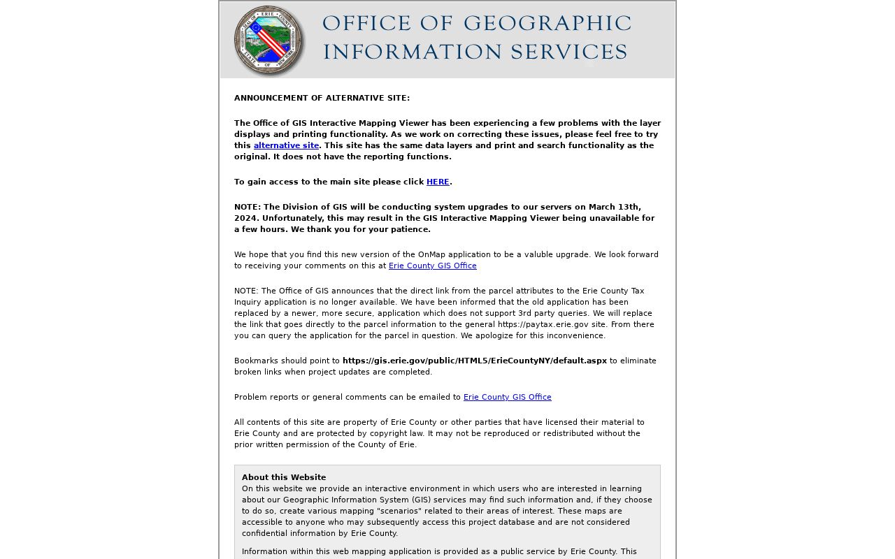
The viewer is a way to compare adjoining land records, not a legal survey. Erie County cautions that updates are approximately monthly but not guaranteed, data can be incomplete or generalized, and map coordinates do not replace legal parcel corners.
Town of Hamburg Street Records
Address-keyed sources overlap without saying the same thing. The parcel card establishes the land key and current tax-record fields. On-Map places that parcel among adjoining polygons. The Clerk holds the recorded land-document trail. Tax maps and plats translate a street-facing location into lot and boundary language. Historical directories and newspapers can add an earlier address clue, but each must be tied to its own publication or event date.
| Address-keyed source | What it can show | Access and limit |
|---|---|---|
| County parcel search | SBL/PIN, owner, situs and mailing fields, taxes, and parcel details | Free public inquiry; not a list of every person at the address. |
| Erie County On-Map | Parcel polygon, street, owner and mailing fields, plus map layers | Public viewer; map geometry is not legal proof. |
| County Clerk instruments | Parties, document type, recording date, book/page, and legal description | Search by name, document, date, book/page, or SBL; no address field. |
| Tax maps and plats | Lot lines, dimensions, rights-of-way, subdivisions, and SBL | County GIS and Tax Mapping Office; use a recorded instrument for legal proof. |
| Building files | Address, project, and dated application or inspection material when released | Address-specific request to Building Inspection or under FOIL; no public street-wide index was located. |
| Historical reverse directories | Address-to-name listings in the volume's stated year | Library shelf or licensed access; gaps between published years are real. |
Use one source to test another. A book/page found in a parcel detail should be compared with the instrument's legal description. A directory result can be checked against its volume year and the street's historical jurisdiction label. A record date matters as much as the address.
Town of Hamburg Deed Trail
The Erie County Clerk's records guide says deeds are maintained from 1808 to the present. The online index starts on January 1, 1986, and online deed images start on January 1, 1960. That difference matters. For a later parcel transfer, enter a book/page, parcel identifier, or party name. Inspect grantor, grantee, recording date, document type, consideration where shown, legal description, and linked instruments. Then search the earlier seller as a grantee to continue backward with the same land description.
The Clerk's search-help screen documents party wildcards, More Names for variants, date ranges, document groups, book/page, instrument number, map number, parcel ID, consideration, and linked-document choices. BrowserView is the practical option for browsers that do not support the older ClickOnce route.
Use the Erie County Clerk search help to check the available name, document, date, and book/page mechanics before refining a record search.
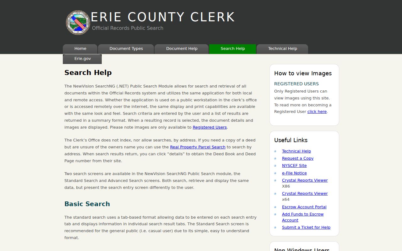
For deeds recorded from 1960 through 1985, the Clerk says Book or Liber and Page may be needed through the alphabetical Graves Index. Older material may require the counter, older indexes, microfilm, or deed books. The direct-address gap remains the same at every date.
Town of Hamburg Address Labels
Several address labels can appear in the same Town of Hamburg record chain. Preserving the label avoids a common mismatch between a postal place, a tax card, and an older legal description. The Town includes the villages of Hamburg and Blasdell and the commonly used Lake View, Wanakah, and Athol Springs names. ZIP identity is postal, not a civil-boundary decision. Historical records can also carry East Hamburg, Orchard Park, or West Seneca because Hamburg's boundaries changed over time.
- Parcel
- A defined piece of land recorded in tax-map and assessment systems, commonly identified by SBL or PIN.
- Situs address
- The physical location of the parcel, usually the address used to find it on a street or map.
- Plat
- A recorded map that can show lots, rights-of-way, subdivision lines, and other land-description details.
- Criss-cross directory
- A reverse directory arranged by street and number, used to find the name printed for an address in that edition.
A tax mailing address serves correspondence. It may belong to an estate, trust, organization, post-office box, or another location connected to the owner. It is not proof that the named owner is at the parcel, and it cannot establish who else may be present.
Town of Hamburg Permit Files
Permit material can date a change at one address. The Town's Building Permits information covers additions, alterations, garages, sheds, fences, pools, decks, certain satellite dishes, plumbing, electrical work, and re-roofing. A requested file can contain a project address, applicant or owner authorization, survey, plan or estimate, and the documents required for the particular work. It can help date a physical change, but it is not a substitute for a parcel record or recorded deed.
No public street-wide permit index or online coverage start date was located. Ask the Building Inspection Office for a specific address and an approximate year, or make a focused Town of Hamburg FOIL request. Identify the file type requested and ask what material can be released rather than requesting a newly created list.
Town of Hamburg Reverse Directory
Reverse or criss-cross volumes make a historical Town of Hamburg street directory useful for one block at a time. The Buffalo & Erie County Public Library holdings guide lists Hamburg town directories for 1962 through 1974, then 1976, 1977, 1979, and 1980. Regional Buffalo Southeast Suburban, South Towns, and South Suburban series extend the trail in selected later years. Begin with the address section, write down the exact year and printed street form, then check the alphabetic section for the matching entry. Do not fill a gap between volumes with an assumption.
The historical collection details belong with the Town of Hamburg city directories. For a street result, the key point is that the volume captures what was printed for that address at that time, not a continuous record across every year.
Town of Hamburg Voter Limits
New York's Poll Site Search, Voter Registration and Mail Ballot Tracker is designed for a registered voter to check that voter's own status and polling place. The form requires county, first and last name, date of birth, and address information. Select Erie County for a Hamburg search. The reviewed public screen is not a street-by-street list, and a no-match can reflect a spelling issue, changed information, confidential registration, a different county, or routine maintenance.
Election Law permits inspection under Board supervision but restricts particular identifiers, and Election Law section 3-103(5) limits voter-registration information to election purposes. Confidential-voter records and Address Confidentiality Program protections add further limits. Treat voter information as neither a household count nor proof of an address beyond the lawful record's scope.
Town of Hamburg Street Directory Limits
Even a careful record chain leaves gaps. Parcel systems identify land and indexed owner fields, while deeds document recorded transactions. Neither source lists every person associated with a location. The public sources reviewed do not provide utility-customer data, DMV addresses, private delivery records, or a complete street roster. A clean search is also not proof that a protected person is absent. New York's Address Confidentiality Program can substitute a protected address, and confidential voter registration is handled separately.
Correct an assessment field through the Assessor, a recorded-index issue through the County Clerk, and a voter record issue through the Board of Elections. Retain the SBL, document number, or date that identifies the problem. That gives the custodian a specific record to check.
Town of Hamburg Parcel Dates
Erie County announced the release of 2025 parcel data in January 2026, while its GIS guidance still warns that updates are not guaranteed. A June 2026 county announcement also described 102 former in rem parcels being conveyed to the Town for public recreation, many around never-developed street plans. Those changes can produce address gaps or a pending ownership change. Save the search date, the parcel date if shown, the deed recording date, and the directory year instead of treating every result as current.
For a full street chain, those dates are the difference between a useful Town of Hamburg street directory note and an unsupported conclusion.