
Town of Hamburg ZIP Code Coverage
Postal geography in the Town of Hamburg is mixed. The research confirms three ZIP labels serving Hamburg-area addresses: 14075, 14085, and 14219. Their names help narrow a postal search, but the final answer for any address comes from USPS standardization and the county parcel. The directory therefore treats 14075, 14085, and 14219 as verified starting points, not as municipal-border lines.
| ZIP | Areas Covered | Post Office | Notes |
|---|---|---|---|
| 14075 | Hamburg, including the main Town and Village postal identity; it also appears with Wanakah and Athol Springs area addresses | Hamburg postal label | USPS assigns the final standardized ZIP+4 for the full address |
| 14085 | Lake View area in and around the Town | Lake View postal label | Town jurisdiction can be paired with a different postal place name |
| 14219 | Blasdell area in the northern Town | Blasdell postal label | Postal and civil boundaries are not identical |
Two adjacent codes need extra care. Research found 14218 in a Lackawanna-adjacent service area and 14127 in an Orchard Park-adjacent service area, but did not confirm Town of Hamburg parcel coverage for either. Do not add either ZIP to a Town record merely because it appears in a regional list. Check the specific address, then identify the parcel and municipality.
USPS and Hamburg ZIP+4
The first step is the USPS ZIP Code Lookup. Enter the street number, street name, city, and state, then keep the returned standardized address and ZIP+4 with the research notes. USPS may normalize the way a street or city is written. That is useful because a Town address may be described as Hamburg, Lake View, Blasdell, Wanakah, or Athol Springs in different records.
The USPS result answers the postal question. It does not establish the legal parcel, owner, village, school district, or Town jurisdiction. Compare it next with the county's parcel field and the SBL, which is the Section-Block-Lot identifier used to connect the tax map and recorded land documents.
The USPS address-to-ZIP service supplies the standardized postal result used for this comparison.
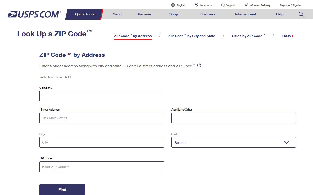
A complete address produces a more useful postal check than a ZIP-only search. Preserve the returned city label even when the county parcel later confirms a different municipal description.
Hamburg ZIP Map Layers
Erie County On-Map places a Census Bureau ZIPCODES layer beside parcels, streets, school districts, Legislature districts, water, wetlands, floodplains, agricultural districts, and soils. The layer is a boundary-visualization tool, not a full address index. Open the Erie County On-Map viewer, identify the subject parcel by address, owner, or SBL, and then view the ZIPCODES layer alongside the parcel. That combination separates a postal shape from a tax parcel.
The county says its parcel layer is current to 2025 on the current guide, while updates are approximately monthly and not guaranteed. GIS geometry is also not a legal survey boundary. For a legal land question, keep the SBL and consult the tax map or recorded instrument rather than relying on the visible line alone.
The Erie County Internet Mapping page documents the parcel, street, and ZIP-code layers available in the public viewer.
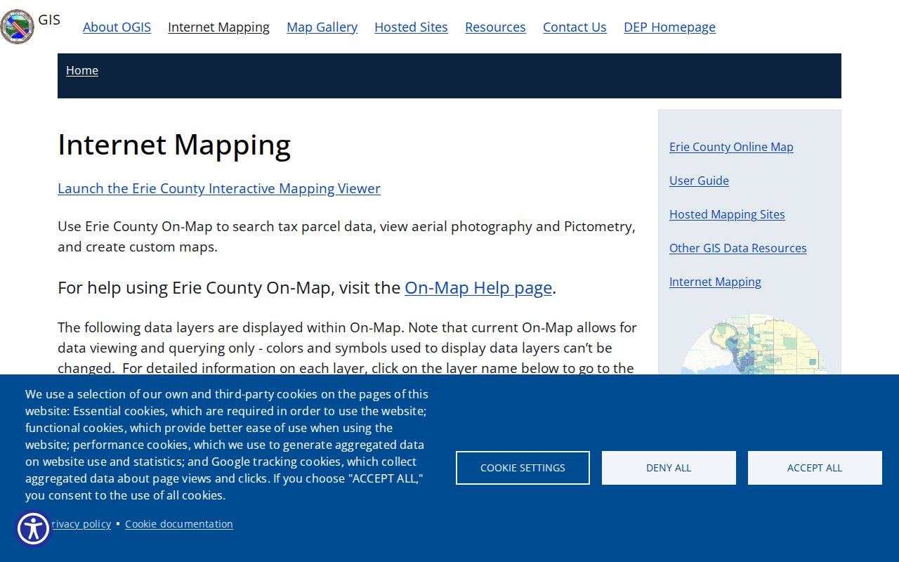
On-Map can be browsed along a street or queried parcel by parcel. Its layer list is most useful after the address has already been standardized and tied to an SBL.
Finding Hamburg Residents by ZIP
A ZIP can narrow an address task, but it does not return a complete list of people. Follow the postal and parcel trail first, then use the record system that answers the next question. The County Clerk's deed index does not accept a ZIP or street address. It needs an owner, SBL, book and page, or another document-search key. The state voter tool also has a ZIP field, but it requires voter-specific details and is designed for status and poll-site verification.
- Use USPS to standardize the exact Hamburg-area address and save its ZIP+4 result.
- Search the Erie County parcel inquiry by property location, owner, or SBL. Record the parcel's LOCALZIP, situs address, and SBL.
- Open On-Map to compare the parcel with the Census ZIPCODES layer and confirm the civil municipality shown for the property.
- Use the SBL, owner, or book and page in Official Records when a deed or related instrument is needed. Use the voter tool only within its stated purpose and fields.
Once the postal area is reduced to a particular address or street, the Town of Hamburg By Street directory has the fuller address-keyed record trail. The postal directory should stop at the parcel and jurisdiction check rather than turn a postal boundary into a street-wide list.
ZIP Fields for Hamburg Records
Different public tools use ZIP information differently. The parcel inquiry displays local ZIP and separate mailing fields in its result record, while On-Map can query the parcel `LOCALZIP` field where the live viewer permits. The exact behavior of a ZIP-only parcel search was not exposed in the reviewed material, so use a full address, owner, or SBL rather than assuming a ZIP will return every matching parcel. The state voter form displays a ZIP field but does not become an anonymous ZIP roster.
| Voter lookup field | Type and use |
|---|---|
| County | Required dropdown. Select Erie for a Hamburg voter record. |
| Last Name | Required text field for the registered voter. |
| First Name | Required text field for the registered voter. |
| Date of Birth | Required MM/DD/YYYY field. |
| Address information | Required or conditional residential-address fields. |
| Zip Code | Available text field that supports the individual status or poll-site check. |
| Search | Returns registration, poll-site, or mail-ballot information when the match is found. |
The NYS Poll Site Search, Voter Registration and Mail Ballot Tracker requires name, date of birth, county, and address information. Election Law §3-103(5) limits the use of voter-registration information to election purposes. The ZIP field is therefore a detail within a voter-specific lookup, not a way to obtain a broad resident list.
Note: A tax mailing ZIP can describe where a notice is sent, while the situs address identifies the physical parcel in Hamburg.
Town of Hamburg ZIP Boundaries
Postal boundaries and Town lines answer different questions. A single parcel can have Town of Hamburg jurisdiction, a Lake View or Blasdell postal place, and a school district with another name. Postal ZIPs can cross civil boundaries. School, fire, and legislative districts are separate overlays. The right order is USPS standardized address, County parcel and SBL, civil municipality, then deed or legal description when the land question matters.
- ZIP code
- A postal routing code. It does not define a Town or village boundary.
- ZIP+4
- The nine-digit USPS code returned for a standardized deliverable address.
- PO-box ZIP
- A ZIP assigned for post-office boxes. It should not be read as a neighborhood boundary.
- Unique ZIP
- A code that can be assigned to a high-volume institution, rather than to a normal neighborhood.
- Carrier route
- A mail-delivery grouping used by USPS. It is not a municipal district or parcel identifier.
Hamburg Postal Name Mismatches
Hamburg is a Town with the Village of Hamburg and the Village of Blasdell inside it, plus Lake View, Wanakah, and Athol Springs area names. That makes a ZIP label a weak shortcut for jurisdiction. A record may say Hamburg, Hamburg town, Village of Hamburg, Blasdell, Lake View, Wanakah, or Athol Springs. Add Erie County and New York to a search, retain the postal label exactly as written, and verify the parcel before combining records.
This is the practical local quirk behind postal research. A result that uses a nearby postal place does not mean the record is outside the Town, and a broad Southtowns map result does not put a parcel inside the Town. USPS answers delivery formatting; Erie County parcel data and the legal description answer the municipal and land questions.
Hamburg ZIP Geography Over Time
ZIP codes are modern postal tools, while old Hamburg records follow a changing legal geography. Hamburg was created in 1812. Orchard Park and West Seneca formed from its original territory in 1850, Hamburg Village incorporated in 1874, and Blasdell incorporated in 1898. A historical deed, census entry, or directory can therefore use an earlier town, village, election district, road, or rural-route name instead of a modern postal label.
Use the SBL, legal description, subdivision or lot-and-block wording to bridge an old address to a current parcel. No official source confirmed a Town-wide street-renumbering year, so a different house number should be researched through maps, newspapers, directories, and recorded land descriptions rather than assumed to be a renumbering.
Hamburg Postal Research Limits
A postal directory can confirm a postal area and help focus a parcel search. It cannot certify ownership, current occupancy, voter status, a court outcome, or a Town boundary. Parcel data can change, map updates are not guaranteed monthly, and a mailing address can belong to an owner, estate, trust, or other recipient rather than someone at the physical parcel.
If two public results use different place names, compare their dates and their key fields before treating them as a conflict. A USPS answer can be current for delivery, while an old deed uses a historical description and the GIS layer uses a parcel attribute. These sources describe different parts of the same address question. Record what each one says rather than replacing one label with another.
For an address that remains unclear, retain the USPS result, SBL, parcel detail, and the date each item was checked. Contact the Town or County office that created the disputed address or record. That short chain preserves the difference between postal routing, parcel identity, and municipal jurisdiction.